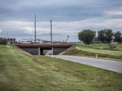
Rode Klif (Red Cliff) at Lake IJsselmeer
Warns
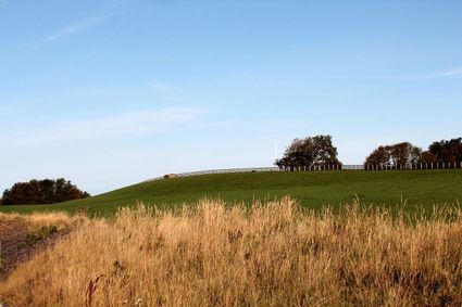
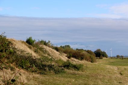
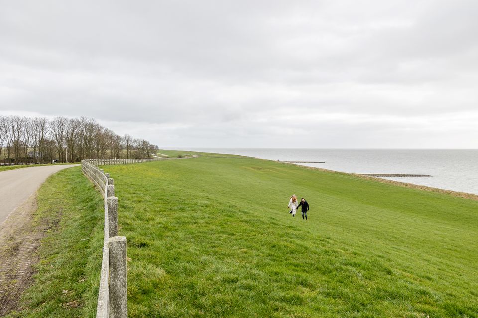
At the edge of Lake IJsselmeer there is a red cliff that is 10 metres high. It was formed during the last ice age but one when the land was pushed up by glaciers that advanced from Scandinavia. The forces exerted by the ice created hills in the landscape.
Take a look
-
-

-

At the edge of Lake IJsselmeer there is a red cliff that is 10 metres high. It was formed during the last ice age but one when the land was pushed up by enormous glaciers that advanced from Scandinavia bringing large boulders and gravel with them.
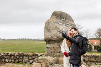
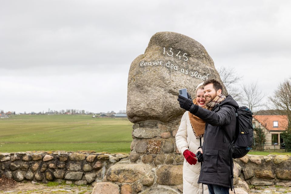
The forces exerted by the ice created hills in the landscape and the wave action of the Zuiderzee inlet cut three cliffs into the bedrock. The red cliff is the highest of the three cliffs and is named after the colour of the boulder clay. The large boulder inscribed with the words ‘Leaver dea as slaef’ (better dead than a slave) commemorates the battle of Warns which took place here in 1345, when the Frisians defeated William IV the Count of Holland.
- Distance to your location:
Here you will find Rode Klif (Red Cliff) at Lake IJsselmeer
Skarl8721 EX Warns Plan your route
from your location
-
Dairy Scharsterbrug
Dairy Scharsterbrug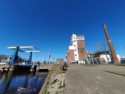
In Scharsterbrug, a large dairy factory called the Maatschappij Hollandia was built at the end of the 19th century.
Scharsterbrug -
Makkumernoordwaard Nature Reserve
Makkumernoordwaard Nature Reserve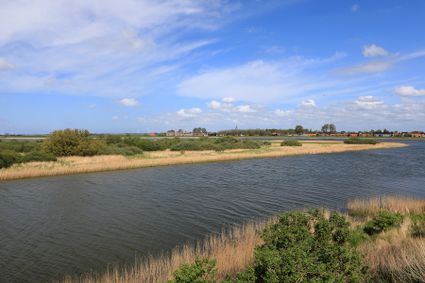
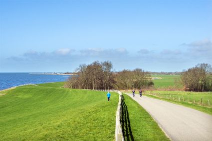
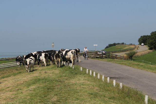
Along the shore of Lake IJsselmeer there are three nature reserves on the sandflats outside the dykes. When Lake IJsselmeer was still the Zuiderzee, these coastal sandflats were flooded by the tides.
Makkum -
Wadden Sea near Zurich - UNESCO World Heritage Site
Wadden Sea near Zurich - UNESCO World Heritage Site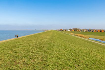
The stretch of Wadden Sea that faces the little village of Zurich nestled at the foot of the dike is the largest UNESCO World Heritage Site in the Netherlands. Twice a day the tide laps against the dike and twice a day it goes a long way out.
Zurich -
Voormalige Stoomzuivelfabriek Lemsterland
Voormalige Stoomzuivelfabriek Lemsterland
In 1891 werd een vergunning afgegeven voor de stoomzuivelfabriek Lemsterland, deze fabriek moest een kaas- en roomboterfabriek worden.
Oosterzee -
Mokkebank
Mokkebank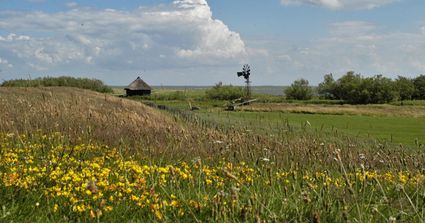
De Mokkebank is het hele jaar in trek bij vogels. In de rietvelden kun je het baardmannetje en soms ook de roerdomp tegenkomen. Verder broeden er veel...
Mirns -
Old Burger Weeshuis
Old Burger Weeshuis
Aan de Kleine Kerkstraat in Sneek staat het administratiekantoor van het Old Burger Weeshuis: een prachtig monument uit 1904.
Sneek -
Ychtenerfeanpolder
Ychtenerfeanpolder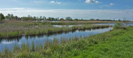
Eén van deze percelen, de Lange Halen, is vroeger gebruikt als eendenkooi. Tegenwoordig ligt hier een rietveld met een moerasbos vanaf de Kooisloot.<b...
Bantega -
Koningsdiep River
Koningsdiep River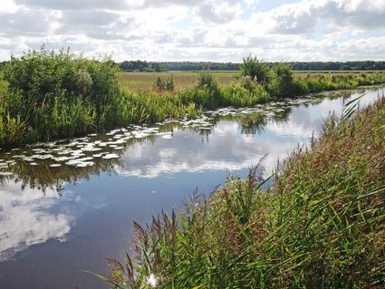
The Koningsdiep river winds its way between the villages of Akkrum and Bakkeveen in Southeast Friesland. The surrounding landscape is dotted with meadows with wooded banks and forests with beautiful walks.
akkrum -
Bancopolder
Bancopolder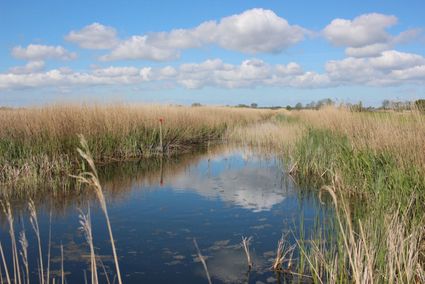
“De rietzanger laat zich geregeld horen en de kleine karekiet vindt hier broedgelegenheid.”<br /> De Bancopolder is een laagveengebied. De kade rondom...
Lemmer -
Zwettepoel Recreational Lake
Zwettepoel Recreational Lake
Zwettepoel (in Frisian Swettepoel) is an idyllic recreational lake between the villages of Broek and Goingarijp in the Lage Midden or ‘low midlands’ area of Friesland. At one time the lake was connected to the Broekstervaart and Noorder Oudeweg waterways.
Broek